Yesterday, Sunday Sept. 13th, we had decided to meet Hans at Hoodsport Coffee Company (https://hoodsportcoffee.com/) and then hike up to Mount Ellinor (https://www.wta.org/go-hiking/hikes/mount-ellinor).
Before we left the house we hoped to see the final stage of La Vuelta Ciclista a España. Unfortunately, and traditionally, the final stage of a grand tour begins more as a parade than a bicycle race. The stage didn’t get underway until nearly 7:30am and they were still taking pictures and drinking champagne (on bicycles, during the race) when we needed to leave at 8:30.
We first drove to a coffee place in Poulsbo, VuLao Coffee and Tea (https://www.vulaocoffee.com/our-story), where Arlene ordered her standard 12 oz latte and I asked for something with a Vietnamese version of the the same thing that was sweeter but has a name I don’t remember. We’ve been to the place twice and at the moment it is my favorite coffee in Poulsbo.
We had left the house giving ourselves two-and-a-half hours to get to Hoodsport, but maybe we choose that time based on Friday afternoon traffic rather than the traffic of Sunday morning. We went down highway 3 to just past Belfair, then turned right on Highway 106 then right again on Highway 101. We were in Hoodsport by 10:30–a half an hour early. I spent the time trying to get updates from La Vuelta on my phone. The last stage was unusual in that it finished with 4 laps that included a hill making the finale very punchy. We had thought that the stage would be won by Matthew Brennan or Wout van Aert since they’re on the same team and worked together to take a total of 7 of the previous 20 stages. Tobias Halland Johannessen won the stage which was pretty cool since the day before he had taken 2nd on a completely different sort of stage with more than 17,000 feet of climbing.
We met Hans just a couple of minutes before 11am. We decided to drive the 30 minutes up to the trailhead in one car so Hans moved some things to our car. We drove up; the last 4.6 miles was on gravel but it wasn’t bad. We parked behind another car that was just on the side of the road since the area where we cold pull in and be perpendicular to the road was full. It made sense to eat before setting out. We all had sandwiches. Hans was ready to go after changing his shoes but Arlene and I had to fill our water bottles and load up our packs.
We set out. The initial ordering was Hans, Arlene and then me. Hans can move. For the first 10 minutes I was thinking that the pace was a little high but I’d survive. Then I got warmed up and was fine. Later, talking to Arlene, she’s gone through the same process and arrived at the same point. The first half, the climb up to Mt. Ellinor, was supposed to be 3.1 miles with 3300 feet of climbing. Hans was running AllTrails and after 1.1 miles we had only climbed 700 feet. (On the way back we also realized that there was also a fair amount of flatish or downish trail around here.) As the climbing progressed more slowly than the distance, we knew that at some point we’d have to pay the price. We first walked through a well-forested area before climbing higher into rockier terrain more sparsely populated with plants.
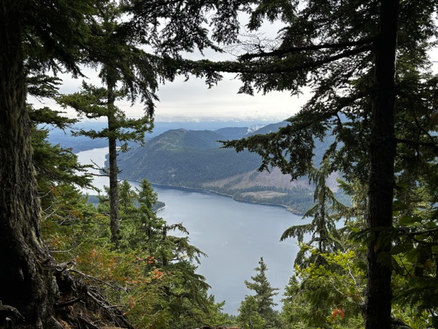
Then the path turned toward the sky and our pace decreased while the wind did the opposite. It was cold. Without the work that had been done by the trail crews the path would have been treacherous. In one place short pieces of tree branches roughly two inches in diameter had been bolted into rocks to create stairs. As we neared the top most of the people who were already descending told us that we were almost there. Arlene wondered if we looked tired.
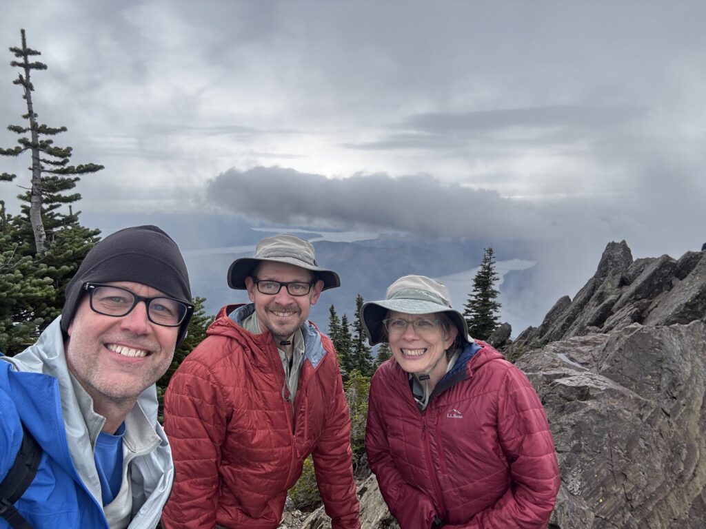
At the top it would be possible that there was good visibility in two directions… eastish and westish. To the west were other hills and mountains but the wind was blowing the clouds through so quickly that they would be visible one moment but not the next and the wind was whipping the mist through the closer terrain that sometime looked like it was getting forced out of a vent. To the east we could see Lake Cushman and Hood Canal and clouds.
I was concerned about the descent because I have old-man knees and I’ve had experiences where it seems like eccentric motion is the enemy. But it wasn’t bad. Arlene took a picture of this moss:
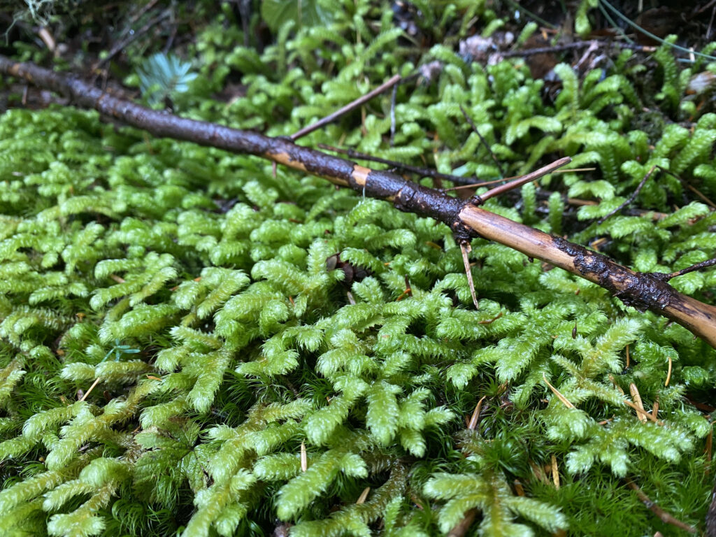
which her phone identifies as Rhytidiopsis Robusta. More research online seem to confirm that although that species can look more like Rhytidiadelphus Triquetrus.
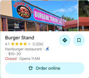
We drove back down to Hoodsport and Hans suggested we stop for ice cream. Hans had a milkshake that maybe had espresso in it. Arlene had a little cup of cookie dough and I had a scoop of coffee ice cream on a conical waffer cone. I didn’t get the name of the place on Sunday, but I have the internet. It was called BurgerStand: https://hoodsporthamburgeranddeli.menu11.com/
Hans returned to Seattle. Arlene and I started the drive back to Bainbridge Island and discovered that on Highway 106 there are no parks with functional bathrooms.
Now it is two days later and we can both barely walk.
It would have been sad to die on this hike… I’ll concede I’m too feeble to hike with you animals. But we can still drink beer together!