Preparation
We started the day with a bowls of cereal. I had drip coffee and Arlene had espresso made with her Nespresso machine. Then we followed the end of stage 8 of the Tour de Suisse which was an individual time trial. (There is a website, https://www.procyclingstats.com/, which has pretty good webby-coverage of all of the races on the pro cycling tour.) But then we left the cabin a little later than we planned. We stopped at the entrance of the park to fill all of our water bottles, then drove 15 miles to the parking lot at Savage River.
Off-Trail
We stopped at the ranger station, told the ranger what we were planning on doing and she said “Make lot’s of noise so the animals know you’re there. Have a good time.” I still stuggle with the idea of hiking off-trail being not only allowed but encouraged. I guess if too many people start taking advantage of the opportunity then there would need to be more restrictions. From what I’ve seen, however, most people ride the busses in and then ride the busses out. Anyway…
We started by walking up the road for maybe 1.8 miles. Then, we passed a spot in the road with a pipe underneath to allow runoff to pass by and at an altitude of about 3200 feet we turned right–perpendicular to the road–and launched ourselves into a forest of dwarf birch coming up to our chests but sometimes only up to our knees. It was hard going. Looking forward we were trying to evaluate both the density of the vegetation and the steepness of the terrain; they tend to be inversely proportional but if either is too high then forward progress is diminished. We were aiming for what seemed to be a natural switchback about half a mile away all the while talking to any bears that might be near by. “Hey bears, we’re not dangerous and don’t want to see you any more than you want to see us.” Weaving through the birch we gained enough elevation to get into a more rocky terrain and summited the first pseudo-ridge.
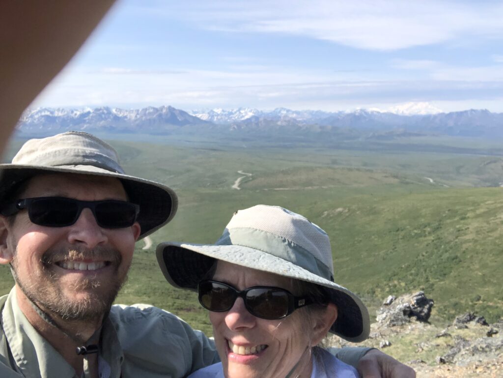
Often when Arlene and I are trying to take an usie, someone nearby will offer to help with the picture. We, of course, appreciate the offer we prefer the style of photo that has my finger in it. (I hold up the phone and Arlene reaches out to touch the screen somewhere to give the desired focus and lighting.)
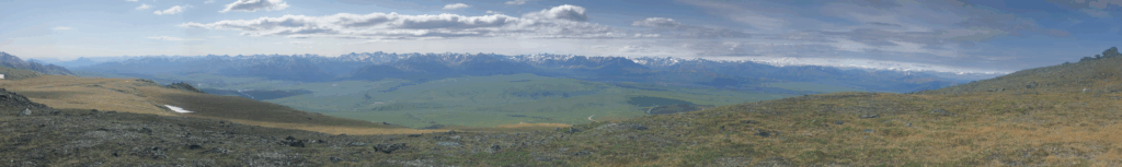
We continued up to the next ridge not yet knowing that it, too, was a pseudo-ridge. Once reaching it we found a slightly-rising grassy plateau covered with wild flowers, mosquitoes and streamlets of melting snow. Elevation about 4200 feet. Accross the grass and up a steep section of rock left us on another pseudo-ridge and nearly at the point of turning around. Arlene has two rules: we don’t sleep on the ground and we don’t scramble on scree; this part of the hike had nearly violated the second of the rules. We crossed another section of rising terrain that left us, finally, on Primrose Ridge and, in fact, on top of Mount Margaret, elevaton 5059 feet. To the north the view rolling hills of grass all the way to the town of Healy where there is also a fire. To the south the view was about 165 degrees of mountains.
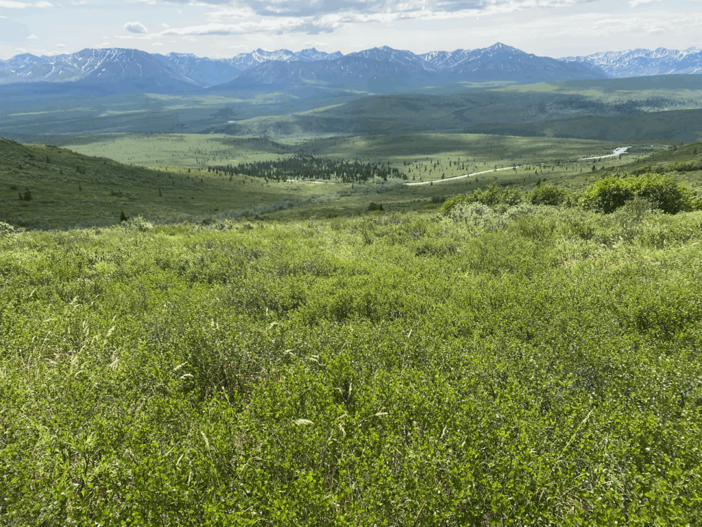
After lunch we descended slowly to the first psuedo-ridge and then found our remaining path to the road:
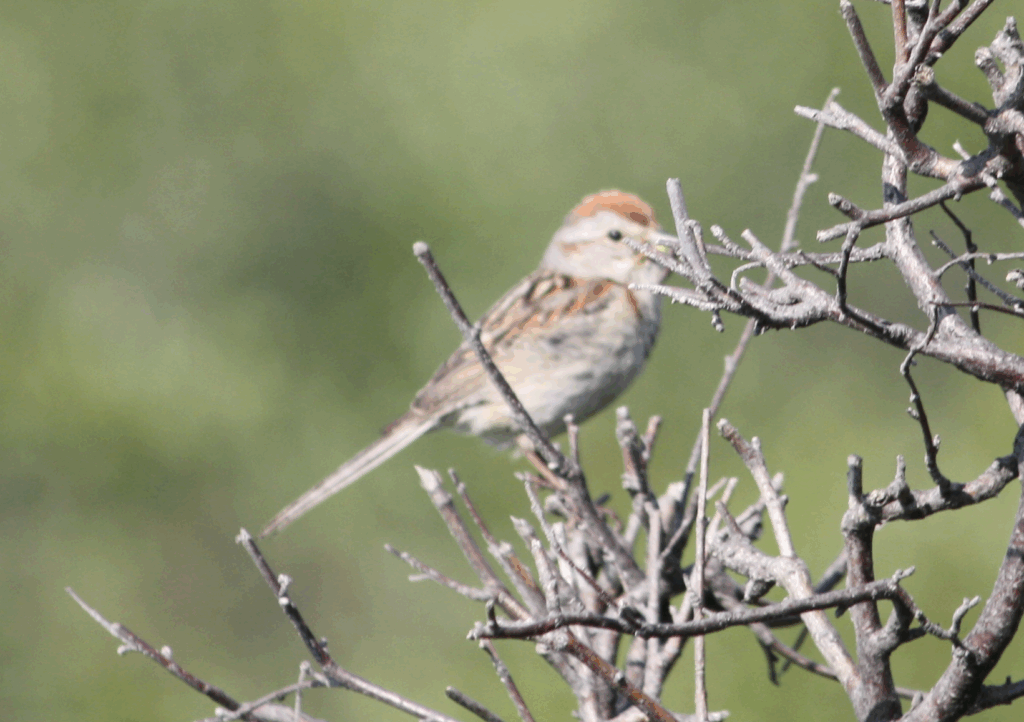
And I took a picture of an American Tree Sparrow:
The descent was hard. We ended up thrashing our way through dense dwarf birth that we has somehow managed to avoid on the way up. We continuted talking to any bears that might be there.
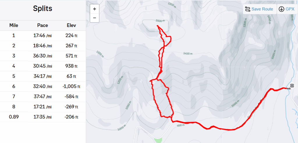
This is from Strava. Savage River is on the far right. Road/off-trail can be deduced from the mile splits.